Kigali, Rwanda · Precision agriculture · Produce export
Precision Agriculture. Better Decisions. Stronger Agricultural Markets.
Connecting advanced agricultural technology, sustainable farming, and quality produce from Rwanda to opportunities across international markets.
Workflow
How precision agriculture works
Select any step to see what happens. This is an illustrative demonstration, not live operational data.
Step 01
Field Scanning
A flight plan is drawn over the field boundary. Altitude, overlap and speed are set for the crop and terrain.
What we do
One company, four connected pillars
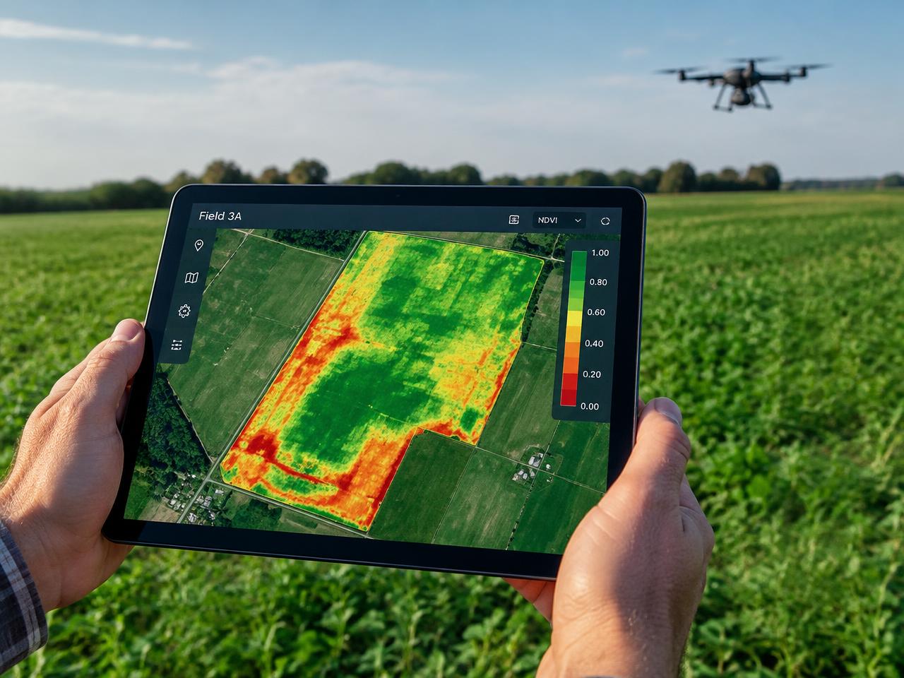
Precision Agriculture & Drone Technology
Spraying, aerial scouting, multispectral imaging and field analytics — delivered with partners.
Learn more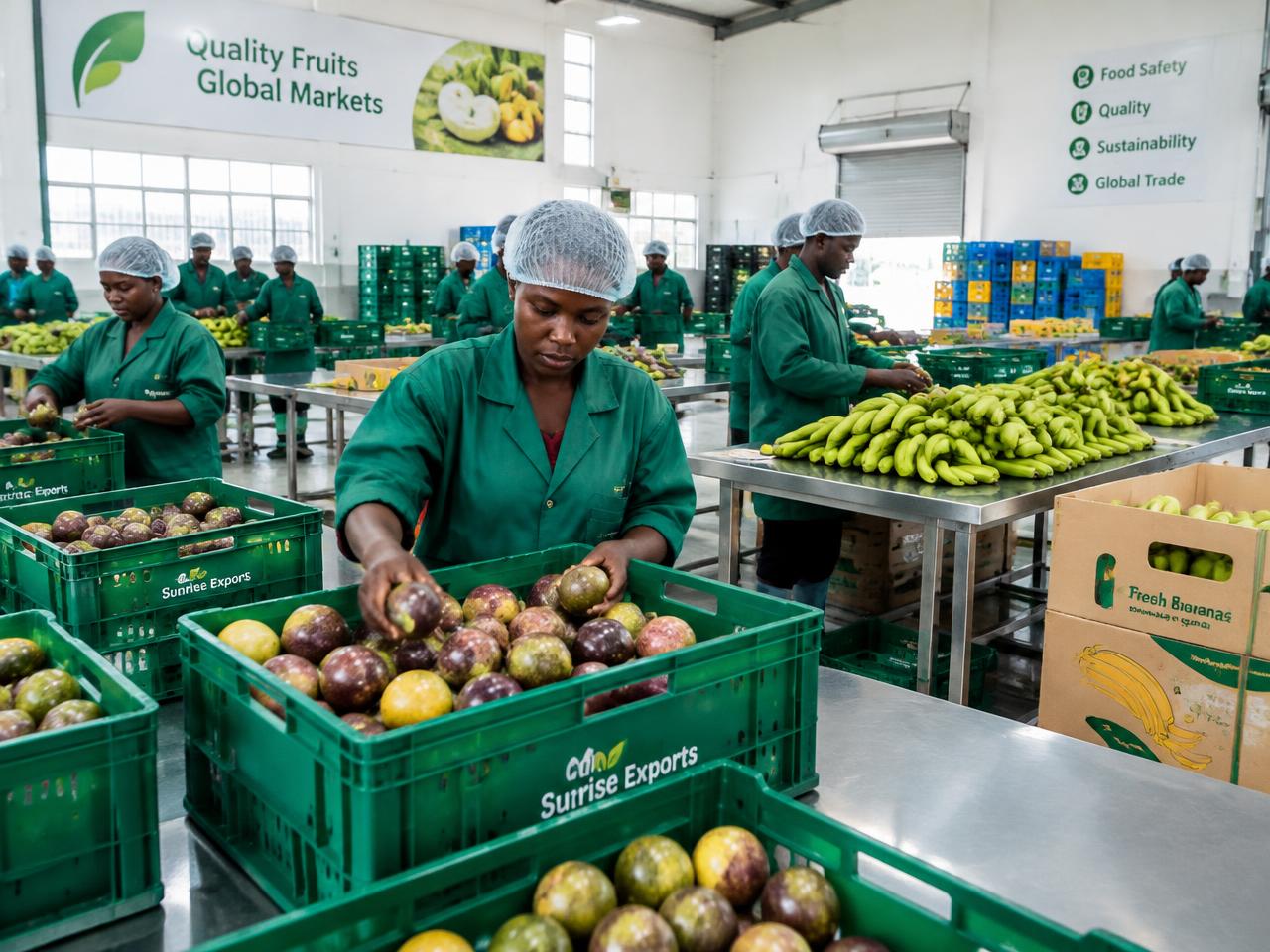
Fresh Produce & International Export
Produce sourced through Rwandan supply networks for wholesale buyers.
Learn more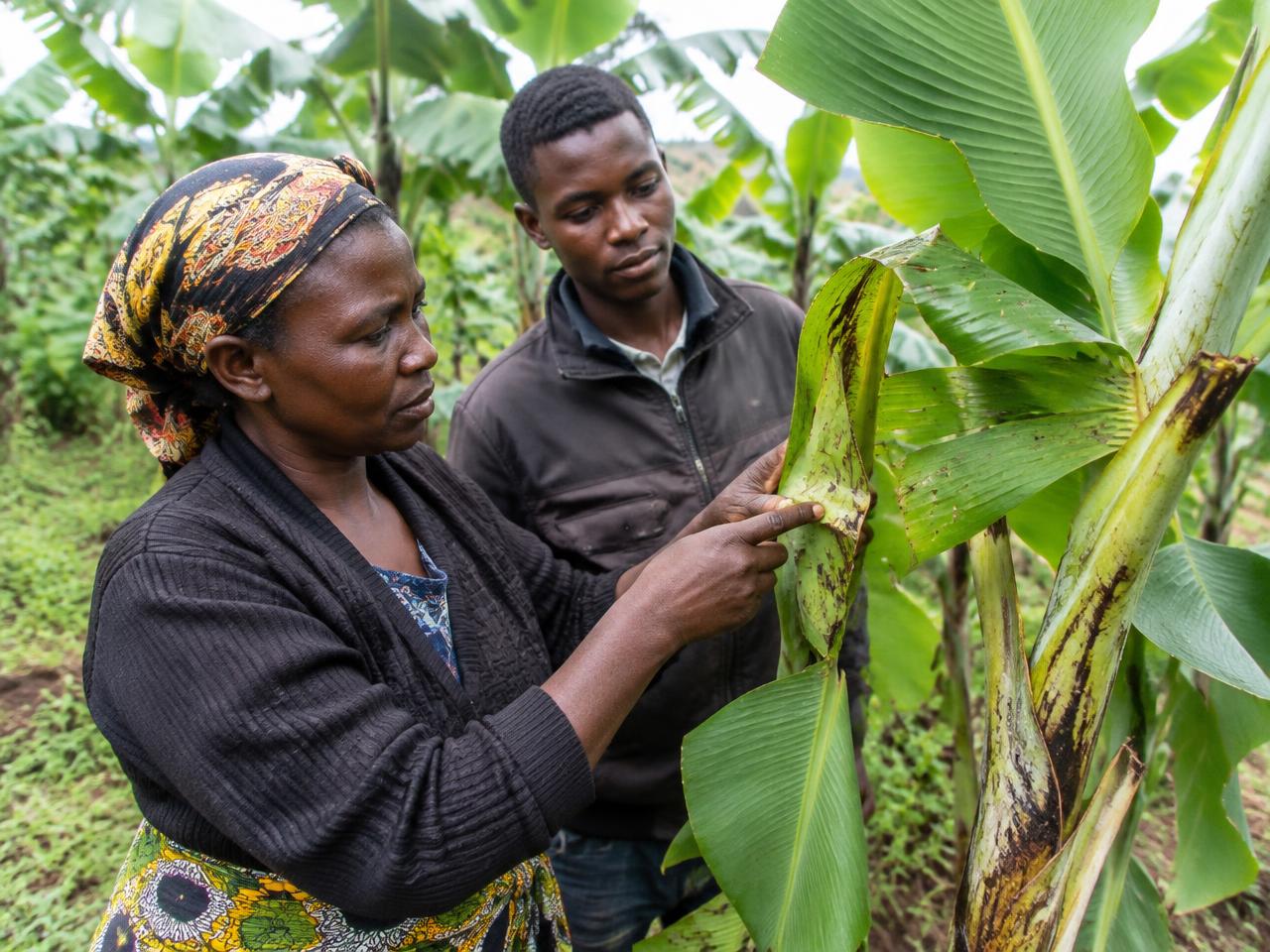
Farmer & Cooperative Partnerships
Training, market access and technology adoption with cooperatives.
Learn moreNGOs, Institutions & Sustainable Development
Program design for climate resilience, food security and farmer livelihoods.
Learn moreImpact
Impact, reported honestly
We only publish figures that have a source, a reporting period and an approved verification status.
Reduce unnecessary inputs
Apply crop-protection products only where field evidence shows they are needed.
Reach more farmers
Extend monitoring and training to cooperatives on Rwanda's steep, fragmented plots.
Open market access
Connect quality Rwandan produce with international wholesale buyers.
Verified impact metrics will appear here once approved. These are objectives, not reported results.
Compare
Traditional vs. drone-enabled operations
Ground contact & soil compaction
No wheels on the field during aerial tasks; ground traffic is reduced for those operations.
Field coverage speed
A mapping flight can cover a field in a fraction of the time — processing and review time still apply.
Input application
Variable or spot application targets confirmed zones, subject to calibration, weather and label rules.
Crop monitoring
Multispectral imagery can flag stress earlier — always confirmed in the field.
Operator exposure
Pilots operate from a distance, reducing direct contact when procedures are followed.
Challenging terrain
Aerial access to steep or wet plots — limited by wind, rain and airspace rules.
Qualitative comparison. Outcomes depend on crop, field, equipment, weather and regulation.
Produce
Produce from Rwandan supply networks
Availability is set per product. Nothing here implies current export stock.
Trust
Partners & credentials
Partner organizations, certifications and food-safety credentials will be listed here once confirmed.
We don't display logos or badges we haven't earned.
Become a partner